Forest Health Index (2022-2026)
Project Overview
This project aims to integrate hardware sensors and drone images to develop a scalable forest health index.
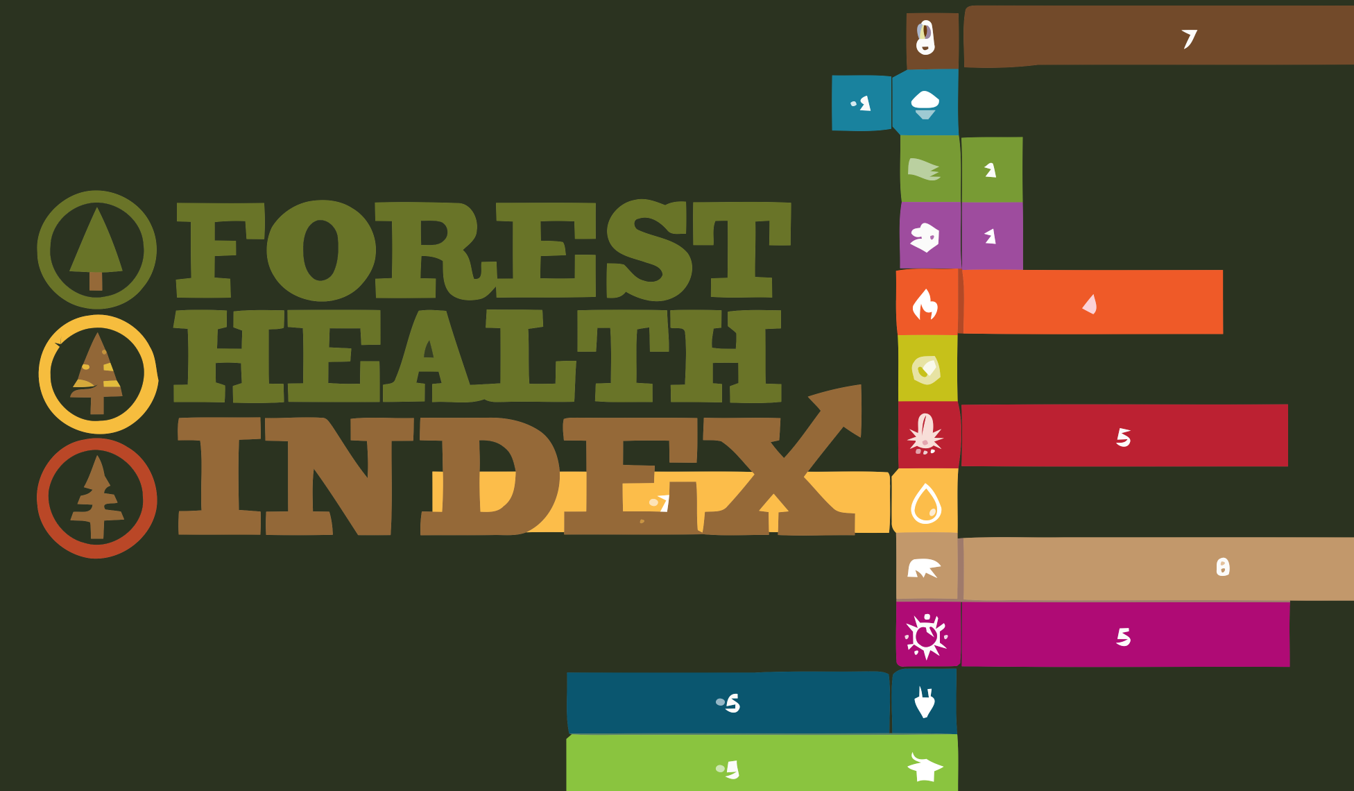
Internet of Things technologies have been used in the context of wildlife conservation in various ways. One such area of interest is forest health. Forest health has been defined from many different perspectives. Forest health can be defined by the production of forest conditions which directly satisfy human needs and by resilience, recurrence, persistence, and biophysical processes which lead to sustainable ecological conditions. Forest health is a qualitative term that refers to the general condition of a forest. A healthy forest is relatively free of insect infestations, diseases, exotic weeds, and air pollution. A healthy forest can resist damage from catastrophic events like acute insect and disease attacks, fire, wind, and flooding and fully recover from these perturbations to continue its life history functions over decades, centuries, or millennia. However, there are no well-accepted methodologies to measure forest health. Some frameworks highlight (foresthealthindex.org) what needs to be considered when measuring forest health. These are high-level frameworks without any specific formula to operationalise and measure a given forest area.

IoT sensors are useful due to their ability to accurately measure environmental parameters on the ground level. However, deploying large-scale IoT networks in forest environments is quite challenging as sensors can only monitor a small geographical area. Therefore, the only way to scale up is to deploy a large number of sensor nodes, which is difficult due to hardware costs, deployment costs, difficulty in providing energy, and developing network communication in harsh environments with high humidity and many physical obstacles.
Another alternative mechanism is to use drones to observe a forest area. However, drones have limitations where they only see forests from the top and cannot directly sense what is happening deep inside the jungles at the soil level. If we were to use drones, we would need to use proxy measurements to determine what is happening on the ground by looking at the quality of the trees and other characteristics that can be remotely measured through cameras. In this project, our objective is to combine both IoT and drone imaging data. Drones bring the scalability aspect, and IoT technologies bring the accuracy aspect. To combine, we will deploy both IoT and drones in a test forest environment to train a model capable of using drone images to predict the outcomes of IoT sensors and, subsequently, the forest health index. We might also use satellite images to complement drone imaging and IoT sensor data. Our ultimate objective is to develop an AI that could use drone images to produce a forest health index without needing IoT hardware sensors deployed at scale, perhaps only with a limited number of IoT sensors to capture the ground truth and calibration purposes.
Team


